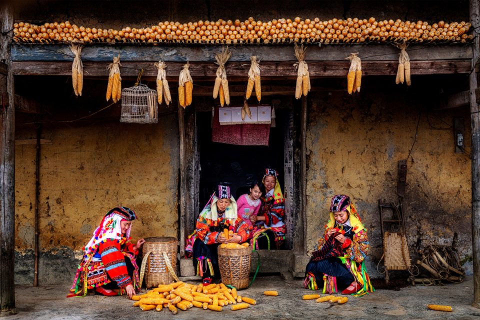
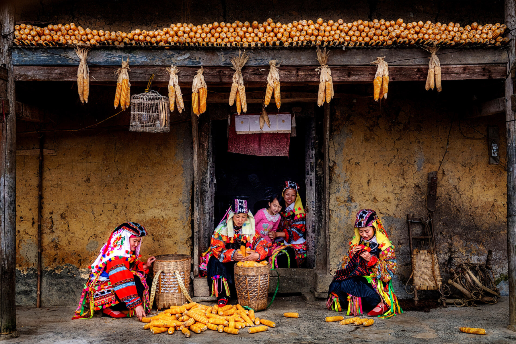
Located in the far north of Vietnam, on the border with China, Hà Giang province is home to the Đồng Văn Karst Plateau UNESCO Global Geopark. This high-altitude territory is characterised by an extremely harsh landscape, dominated by jagged karst formations and arid slopes where arable land is a scarce resource. Despite these geomorphological constraints, which impose geographical isolation and biting winters, the region is home to several ethnic minorities, notably the Hmong, who have developed remarkable strategies of adaptation. Staying here allows you to see how local communities turn this mineral environment into a living space shaped by solidarity and constant social resilience.
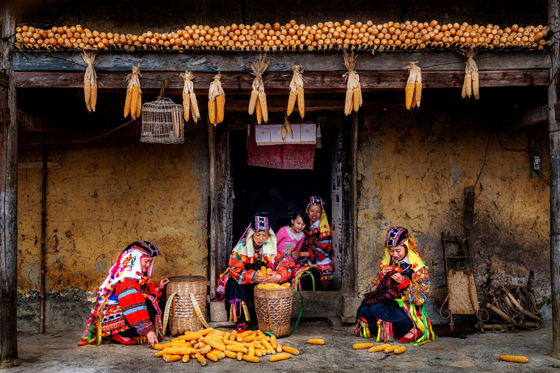
Agricultural engineering on rock: growing maize in karst country
The survival of the people of the Đồng Văn plateau depends on exhausting physical labour to wrest every grain of maize from the stone. With no alluvial plains, farmers practise a unique growing technique that makes use of the smallest crevices in the limestone. They often carry topsoil up from the valley floors to fill the holes in the rock by hand before sowing their maize seeds.
These plots clinging to the mountainsides require constant manual upkeep, with dry-stone walls built around the tiny fields to hold the little soil available against being washed away by the rain. Watching this work on terraces or halfway up cliffs reveals a disciplined way of life and highly precise farming, where human activity is woven directly into the constraints of the geological structure.
Social richness, work songs and festive traditions
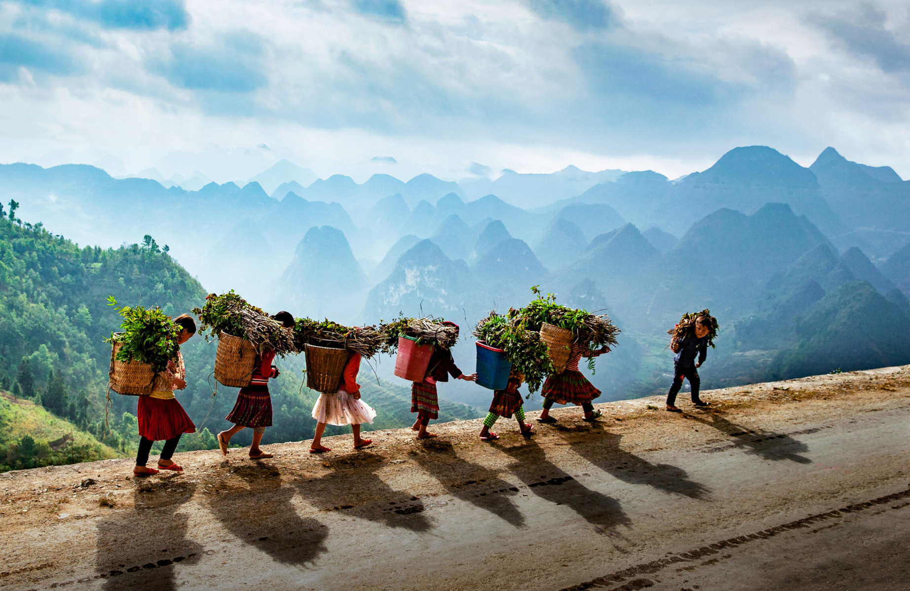
Communities in Hà Giang are organised around an umbilical bond with the land and a supportive social structure that makes up for the material harshness of the environment. During farm work or while carrying heavy loads of wood along dizzying paths, the hardship is eased by the constant singing of work songs. These melodies, echoing through the valleys, act as hymns to cooperation and to the cohesion of the group.
This resilience is also expressed through an art of spontaneous celebration, with farming cycles and community events setting the rhythm of the calendar:
-
Celebrations: A completed harvest or the birth of a baby in the hamlet are occasions for the clan to gather.
-
Sharing rituals: These moments involve traditional musical instruments (such as the Hmong khèn) and the sharing of maize wine around the hearth.
This ability to cherish the present moment and keep a festive atmosphere despite isolation bears witness to the moral strength and cultural dignity of the highland peoples.
Trade and market life in the highlands
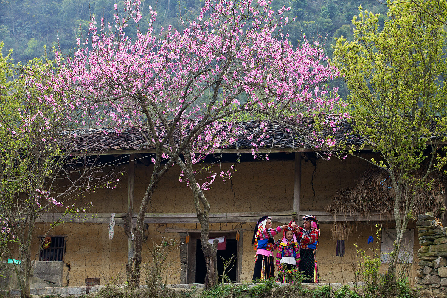
The economic and social heart of the geopark beats to the rhythm of the weekly markets, such as those of Đồng Văn, Mèo Vạc or Khâu Vai. More than mere places to trade goods, these markets are cultural meeting points where the different ethnic groups (Hmong, Dao, Tay, Lolo) gather in their traditional dress. This is where crafts, livestock and the farming tools essential to mountain life are bargained over.
For travellers seeking immersion and anthropological observation, visiting these markets at dawn, between 6 am and 10 am, lets you grasp the authenticity of relations between ethnic groups. Exchanges take place in an atmosphere of unvarnished conviviality, where conversations around the local food stalls (especially around thắng cố, a traditional dish) strengthen community ties and break the isolation of families living in the most remote hamlets of the plateau.
Practical information and getting around the mountain loop
Hà Giang province is reached from Hanoi via National Highway 2, a road journey of around six to seven hours to the provincial capital. From there, exploring the geopark means travelling the “Happiness Road” (Hạnh Phúc), a winding and technical road that crosses major passes, including the famous Mã Pí Lèng pass overlooking the Nho Quế River. Light motorised vehicles suited to steep gradients are essential to tackle this terrain.
A stay of at least four days is recommended to complete the full loop (Hà Giang - Quản Bạ - Yên Minh - Đồng Văn - Mèo Vạc) properly. Accommodation is developing in the form of village guesthouses, offering a break from urban standards and ensuring a direct economic benefit for the local communities who maintain this unique mineral landscape.
Photo: Tran Tuan Viet
Last checked Suggest a correction
Sources